Aerial View of Toronto City with Architectural Buildings and Road Network
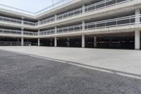
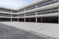
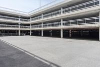
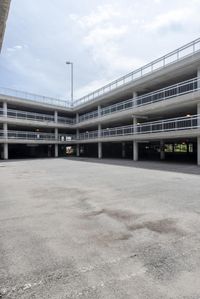
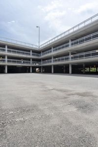
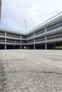
This stock photo showcases an aerial view of Toronto city in Ontario, Canada. The image captures the city's modern architecture, with tall buildings, bridges, and mixed-use structures. The road network, including asphalt roads, parking lots, and parking decks, can also be seen throughout the city. The photo was taken during the day, with a clear blue sky and fluffy clouds in the background. The buildings have a sleek facade, made of concrete, metal, and glass. The infrastructure and public spaces create a dynamic urban environment. The photo highlights the city's transportation system, with roads, lines, and structures. The parking garage and stadium add to the city's recreational and sports facilities.
1 / 6
Buy and Download
File type options
Details
- Asset Type
- Backplate
- Image name
- CHO_056307_S_B01_11300241
- Location
- CHO_056307#S_B
- Dimension
- 8645 x 5770 Pixel
- Available file formats
- JPG , TIF
Top